
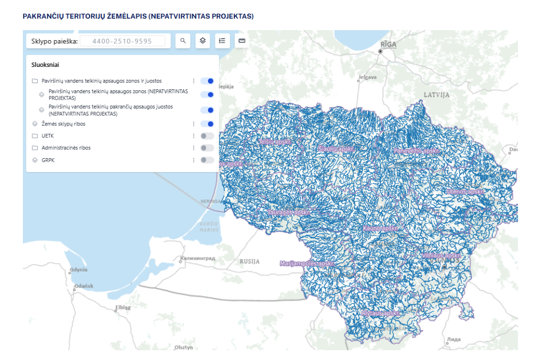
The Environmental Protection Agency announces that, in implementing the provisions of the Law on Special Land Use Conditions of the Republic of Lithuania, it plans to approve the territories to which the special land-use conditions of surface water body protection zones and coastal protection strips will apply.
A draft map of surface water body protection zones and coastal protection strips has also been prepared.
The draft coastal territories map, together with the prohibitions and restrictions applicable in surface water body protection zones and coastal protection strips, can be viewed on the Agency’s website here.
The draft coastal territories map is also published on the Lithuanian spatial information portal www.geoportal.lt.
Natural or legal persons may submit reports about possibly erroneous data in the draft coastal territories map to the Environmental Protection Agency by e-mail at aaa@gamta.lt or by registered mail (Juozapavičiaus g. 9, LT-09311 Vilnius).
Reports about possibly erroneous data in the draft coastal territories map are accepted until 7 November 2025.
Reports of erroneous data may be submitted using this form (report form).
As a reminder, special land-use conditions are restrictions on economic and/or other activities laid down in the Law on Special Land Use Conditions (Articles 99 and 100) and applied in designated territories, depending on geographical location, adjacencies, the primary land-use purpose, the manner of use of the land plot, the specific activity carried out, structures, immovable cultural heritage, and the needs of environmental protection, public health, national security and the public interest.